
Implementing mobility solutions has proven challenging in industries with hazardous operating environments, such as oil and gas or chemical and pharmaceutical manufacturing. Mobile devices must be specially designed and tested to adapt to volatile environments and ensure employee safety when there are flammable gasses, vapors, or airborne dust present.
Continue reading “Why C1D2 Certification Matters”Rugged Tablets: The Ideal Device for Supply Chains in Shipping and Logistics
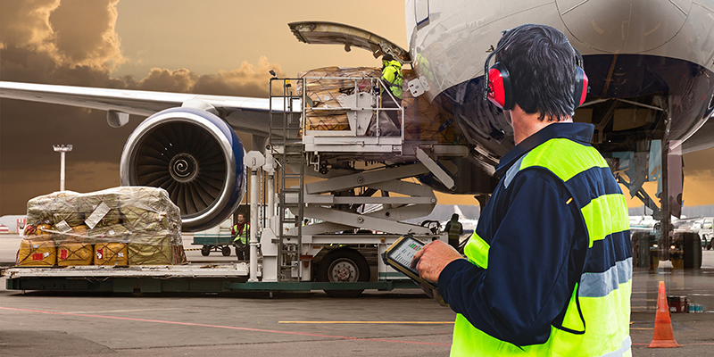
The pandemic of the last year has brought many changes and challenges to the supply chain industry that have never been seen before. Supply chains are continuously working hard to overcome unique challenges such as supply shocks, demand shocks, closures, lockdowns, and more as global human and economic changes occur.
Continue reading “Rugged Tablets: The Ideal Device for Supply Chains in Shipping and Logistics”Rugged Tablets with the 3D RealSense Camera Captures Digital Twins for City Infrastructure Projects
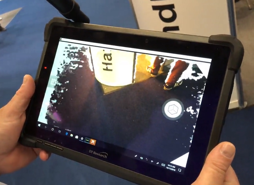
Digital Twin is a newly integrated technology that is gaining traction in a variety of industries, with the ultimate goal of uniting physical and virtual spaces. So far, the Digital Twin concept has been used in a variety of engineering domains, including engineering design, manufacturing, automation, and the construction industry.
Continue reading “Rugged Tablets with the 3D RealSense Camera Captures Digital Twins for City Infrastructure Projects”Rugged Tablets for the Navy: Offering Convenience and Reliability for the Military
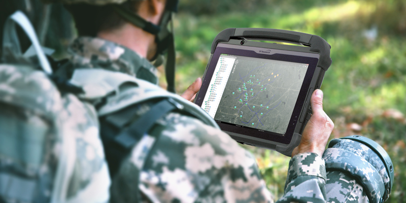
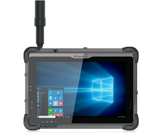
The United States Navy is utilizing rugged tablets in a variety of ways to improve dock and sea logistics. One of the challenges the military faces is being able to complete requests completely and efficiently in a timely manner, and having rugged tablets on hand to facilitate these processes allows for increased productivity and better outcomes.
Continue reading “Rugged Tablets for the Navy: Offering Convenience and Reliability for the Military”Getting the Best Accuracy for Ground Control Points with Rugged Tablets
Ground control points (or GCPs) are known-coordinated places on the ground. GCPs are points that a surveyor can precisely pinpoint in an aerial mapping survey, allowing enormous areas to be accurately mapped with just a few known coordinates.
Continue reading “Getting the Best Accuracy for Ground Control Points with Rugged Tablets”