Field surveying has never been simple. Teams are dispersed. Sites are remote. Conditions are unpredictable. And yet the expectation remains the same: precise data, delivered quickly, with zero room for error. The real bottleneck is rarely the survey itself. It is the workflow.
When files are scattered across devices, inboxes, USB drives, and disconnected cloud accounts, teams waste time asking a familiar question: Who has the latest version?
That uncertainty slows projects, creates rework, and increases risk. In industries where precision defines profitability, disconnected systems are no longer acceptable.
From Fragmented Files to Continuous Data Flow
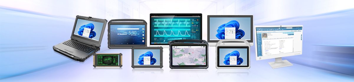
Modern surveying demands a connected workflow where data moves automatically from the field to the office and back again. Rugged tablets are precision-engineered to support exactly that transformation.
Instead of manually exporting files at the end of the day, survey data syncs in real-time, even while on location, without the need for returning to an office first; leaving less room for human error and more time for accurate decision making. Automated data synchronization ensures updates are immediately available to project managers, engineers, and office staff. Centralized project management replaces scattered storage, and teams stay aligned without duplicate uploads or version confusion.
Built for Precision in Real-World Conditions
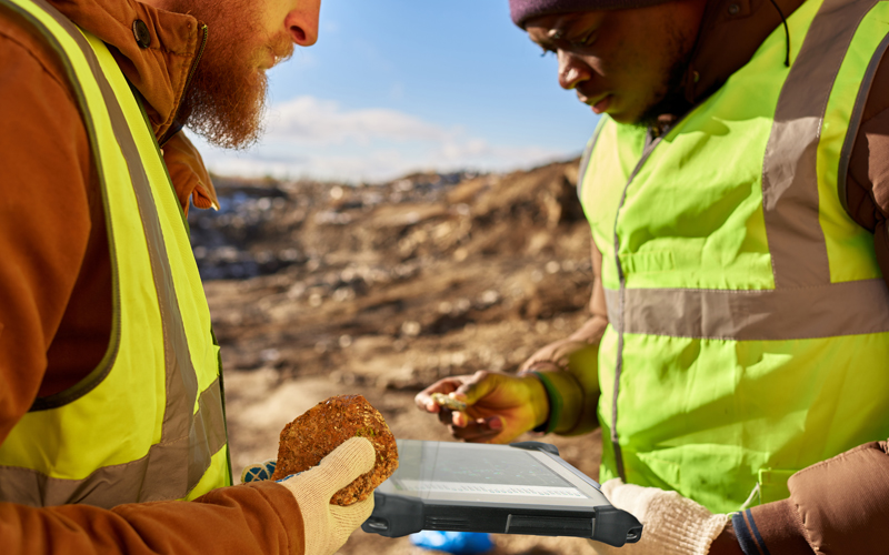
Surveying is not a desk job. It happens in wind, dust, rain, and extreme temperatures. Whether mapping land boundaries, conducting ecological surveys, extending runways, managing mining sites, or supporting large construction projects, hardware must survive where consumer devices fail.
DT Research’s 10-inch rugged tablets are field-ready by design:
- High-bright 10-inch display for outdoor visibility
- Intel Core Ultra processor running Microsoft Windows 11 IoT Enterprise
- Integrated GNSS/GPS for precise positioning
- Hot-swappable batteries for continuous operation
- 4G LTE, BT wireless connectivity for live communication and remote data transfer
- IP65, MIL-STD-810H/461G for water, dust, vibration, and drop protection
- Front/back cameras, barcode scanner, smart card/CAC reader
With built-in GNSS capabilities, surveyors gain accurate positioning directly from the rugged tablet, reducing dependency on multiple disconnected tools. For workflows requiring even higher precision, rugged tablets integrate seamlessly with total stations and other geospatial instruments.
This flexibility ensures compatibility with leading surveying ecosystems, enabling professionals to operate within established geospatial workflows without disruption.
Connected Field Intelligence
The shift is not just about durability. It is about intelligence at the edge.
Rugged Tablets allow field crews to:
- Access updated project files instantly
- Push data to the office in real-time
- Receive design revisions without returning to headquarters
- Coordinate across teams through LTE connectivity
As a result, operations accelerate, errors decrease, and decision cycles shrink. Instead of treating the field as a disconnected endpoint, rugged tablets transform it into an active, connected node within the project lifecycle.
Surveying at the Speed of Modern Infrastructure
As infrastructure projects grow more complex and timelines tighten, surveying workflows must evolve. Digital coordination, automated syncing, and secure centralized data management are no longer optional. They are operational requirements.
Rugged tablets provide the processing power, positioning accuracy, and field resilience necessary to meet those demands. By combining GNSS precision, total station integration, automated data flow, and enterprise-grade computing in a 10-inch field-ready form factor, they bridge the gap between the jobsite and the office.
Surveying has always been about accuracy. Now it is also about connection. And in today’s environment, the teams that stay connected move ahead.