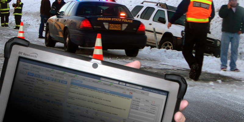
Rugged tablets have become crucial tools for law enforcement and first responders as well as for court officials, allowing for rapid, accurate mapping of crash scenes and reconstruction to help determine the causes and outcomes of such crashes.
Purpose-built rugged tablets equipped with the latest in survey quality technology can save time, money, and lives, delivering new ways to perform dangerous tasks and minimize risk to the lives of countless officials and civilians.
Many states can qualify for grants for this equipment, and thus improve incident management and traffic enforcement safety at dangerous crash sites. Since secondary crashes occur in one out of five accidents, causing the deaths of hundreds of civilians, law enforcement officers, EMTs, and rescue personnel, being able to utilize the latest technology to swiftly clear highway crash sites can significantly reduce the risk of such fatalities.
This new era of digitization is presented perfectly in the development of the GNSS (Global Navigation Satellite System) RTK (Real-Time Kinematic) rugged tablet. Forensic mapping is being revolutionized by the tech that allows non-surveying work to be completed swiftly and with the high level of precision, delivering accurate mapping that is within 1-2 centimeters of accuracy and is thus considered scientific-grade results.
Conventional surveying equipment delivers slower results at a much higher cost (conventional total station equipment can take several hours to complete relying on GPS systems alone.) In contrast, new technology allows first responders to collisions, natural disasters, and crime scenes to capture all pertinent data in minutes and allows scenes to be cleared quickly for resumed traffic flow and personnel safety.
GNSS-RTK rugged tablets are deployed by law enforcement on the ground and matched with air support from drones programmed to capture images from above. The forensic mapping software obtains and transmits the necessary measurements for crime scene re-creation. The level of accuracy provided by the resulting 3D version of the scene meets legal requirements for evidence.
Conducting forensic mapping with GNSS-RTK rugged tablets improves not only the accuracy of data collected at non-land survey sites but can mitigate negative downstream effects as well, safeguarding lives and delivering results in court that can bring closure to the families of victims. The crystal clear crash site reconstructions that are possible with these rugged tablets can be a game-changer in the world of forensics and traffic enforcement.

