
For decades, road construction projects have relied on stakes in the ground to efficiently and accurately map and survey land to gain measurements for the project. This process is time-consuming, labor-intensive, and leaves room for human error. Construction can consume a lot of time if you don’t have all the skills and expertise necessary for the job. Professional concrete removal services like https://northernconcretecutting.com.au/ will help you avoid expensive repair costs and ensure you get a perfect job.
Furthermore, most of this documentation of measurements has come from the outdated data logging technique of paper and pencil. Not only does logging information with paper and pencil take three times as long or more, when mistakes are made the corrections have to be done twice – once by sending crews back to the location and once by uploading that new data into a computer system.
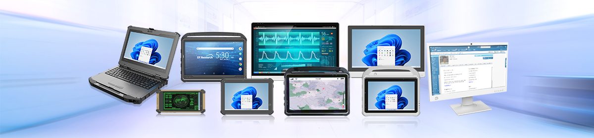
Rugged tablets for construction projects reduce both the time needed for projects and the chance of errors. Rugged tablets allow projects to go stakeless for highway and road projects. When surveying land, rugged tablets can be handheld or used with an external antenna and rod to achieve accuracies of +/0.05. That’s because Rugged Tablets are designed with a full survey grade RTK GNSS built-in to the tablet.
Built-in RTK GNSS Benefits
The GNSS/GPS technology of GPS RTK, or Real-Time Kinematic, is used to improve the precision of location data received from satellite-based positioning systems. RTK GNSS relies on a single reference station to offer real-time corrections and uses carrier-based ranging rather than code-based positioning, resulting in centimeter-level accuracy for applications like surveying. RTK is used by GPS to decrease and eliminate typical mistakes.
A GPS RTK GNSS system consists of a base station that monitors satellite signals, one or more rover users to whom the base station delivers the information, and a communication channel through which the base broadcasts real-time correction data to the users. Within the neighborhood of this base station, RTK GNSS delivers extremely accurate positional data.
Purpose-built tablets allow inspectors and construction crews to use automated machine guidance systems to run applications that contain GPS locating and 3D modeling technologies. This improves the process of surveying the land for the project.