As a company whose mission is to provide integral infrastructure industries with efficient computing technology, DT Research resonated strongly with the goals and objectives of the annual 2019 INTERGEO expo and conference.
In line with INTERGEOs long-standing motto, Knowledge and Action for Planet Earth, this years focus was on how to ensure the quality of life in urban and rural areas in the long-term as well as the spread of digital technology in mobility and construction.
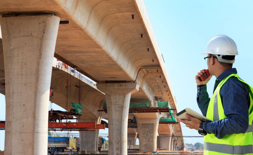
This event aims to answer the same questions that DT Research explores each time we look towards the design and capabilities of our rugged tablets: What do infrastructure industries need in their technology? How can our technology make building and maintenance safer? What tools can support more efficient project management and communication?
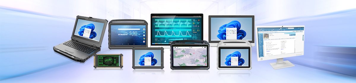
DT Researchs rugged tablets fit perfectly in the infrastructure, interior, and building conversations that encompassed this expo due to the tablets advanced capabilities including:
Global Navigation Satellite System
DT Researchs efficient GNSS capability hits four key criteria necessary for project success: accuracy, integrity, continuity, and availability. This is in regard to all communications, surveying, researching, and positioning. Infrastructure projects use GNSS in real-time to compute accurate surveying and data management.
GPS
With GPS integrated in DT Researchs rugged tablets, project managers and all involved personnel can track the position of all team members as well as the status of incoming supplies and other important shipments.
Wi-Fi and Bluetooth
The powerful Wi-Fi and Bluetooth capabilities of our GNSS Tablets allow for real-time communication between all individuals on the project as well as open access to shared information and computing solutions. This makes a substantial difference in the efficiency of any building, maintenance, or other infrastructure projects. Each member is operating under the most recent information, including changes or updates to the design and plan.
Building Information Modeling
With the ability to generate an exact 3D model the infrastructure that is being built or repaired, projects can virtually view, analyze, and test a structure before the physical construction process begins. BIM capability is one of the largest advantages any infrastructure project can have it minimizes mistakes and maximizes efficiency.
As we move forward into a future where space is limited and the need for innovative infrastructure is strong, building, maintenance, and community industries will need powerful GNSS rugged tablets to support their efforts to maximize the quality of life in both urban and rural areas.