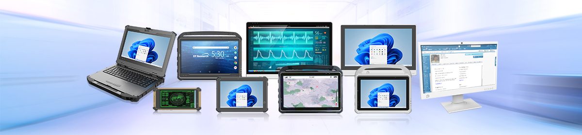
Rugged tablets and laptops have revolutionized the way professionals in geology, construction, land management, and environmental projects manage fieldwork. These rugged computers provide accurate data collection, improve project efficiency, and withstand harsh environmental conditions, making them indispensable tools for field-based tasks. With features like real-time kinematic (RTK) GPS and Global Navigation Satellite System (GNSS) capabilities, rugged tablets and laptops offer centimeter-level accuracy, which is crucial for ensuring precision in various field projects.
Enhanced Project Accuracy with GNSS and RTK
In field-based operations, accuracy is paramount, especially for projects that require precise measurements, such as geology surveys, roadway construction, and wetland management. Rugged tablets equipped with GNSS and RTK modules provide high-precision positioning by correcting GPS data in real-time. This allows professionals to achieve horizontal accuracy within a few centimeters, ensuring the reliability of the collected data.
For example, the RTK GNSS system used in rugged tablets involves a base station and rover units that communicate to provide real-time corrections. These corrections reduce errors caused by atmospheric interference, satellite drift, and other factors. This level of precision is essential for tasks like topographic mapping, environmental monitoring, and land surveying. In fact, industries like construction and agriculture heavily rely on RTK corrections to optimize land use and reduce errors in field operations.
Applications in Construction and Stakeless Projects
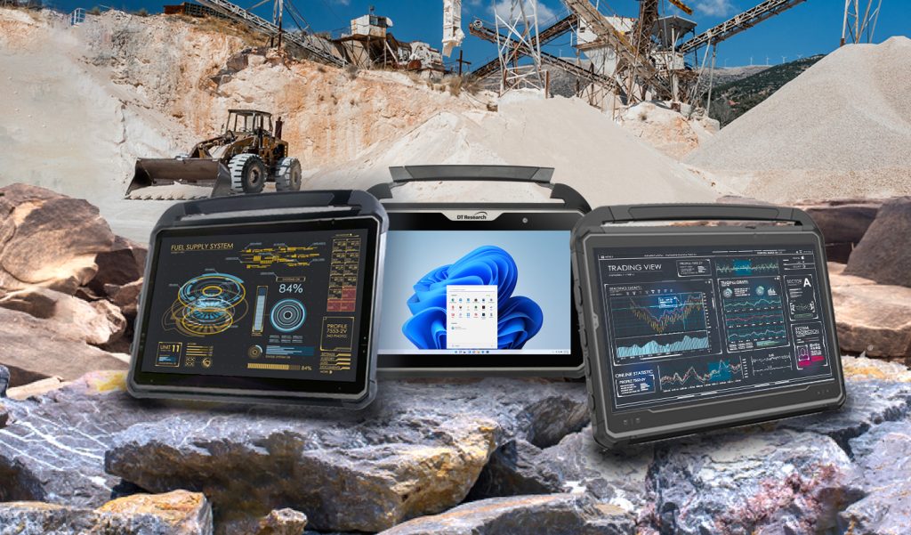
Rugged tablets and laptops are particularly beneficial for construction projects, where they aid in managing everything from land surveys to project documentation. These flexible computers enable “stakeless” construction, where traditional markers and stakes are replaced by digital reference points, drastically improving the efficiency of fieldwork. By using RTK-enabled rugged tablets, construction teams can achieve centimeter-level accuracy when laying out roads, foundations, or other infrastructure. This level of precision not only speeds up the construction process but also ensures that projects are completed with minimal rework.
In addition to stakeless construction, these rugged computers also support Building Information Modeling (BIM), a crucial tool in modern construction. Rugged computers with integrated GNSS modules can help create accurate digital models of construction sites, which are invaluable for managing the complex data involved in large projects. With real-time updates and precise data collection, project managers can monitor progress, detect potential issues early, and ensure the project stays on track.
Geology and Environmental Management
In fields like geology and wetland management, rugged tablets and laptops are essential for collecting geospatial data in tough environments. Geological surveys often require accurate mapping of terrain features and geological formations. With their durability and precise GNSS capabilities, rugged tablets and laptops allow geologists to gather data in extreme weather conditions without losing accuracy. These field computers are designed to function in temperatures ranging from sub-zero to extreme heat, and they can withstand exposure to water, dust, and shocks.
Wetland management and environmental projects also benefit from the precision offered by rugged computers. Mapping wetland boundaries, tracking wildlife habitats, and monitoring ecological changes require high levels of accuracy, particularly when navigating difficult terrain. The rugged tablets’ real-time GPS and RTK features ensure that these projects are completed efficiently and with a high degree of precision.
Progress Documentation and Area Mapping
Rugged tablets and laptops streamline project progress documentation by allowing real-time data input, photo capture, and report generation, all while in the field. This reduces the need for paper-based processes and ensures that project stakeholders have access to up-to-date information. Rugged tablets and laptop also facilitate area mapping measurements, which are crucial for land management, urban planning, and infrastructure development. The integration of RTK and GNSS technologies ensures that every measurement taken is highly accurate, supporting informed decision-making.
Future of Rugged Devices in Field Projects
The demand for rugged tablets and laptops is expected to grow as more industries recognize their value in improving project accuracy and efficiency. Advances in RTK GPS technology continue to drive innovation, enabling these devices to support a wide range of applications, from autonomous vehicles to precision agriculture and urban planning. The ability to capture and analyze data with extreme accuracy will only become more critical as industries adopt more advanced technological solutions.
Rugged tablets and laptops are indispensable tools for professionals working on field projects in construction, geology, land management, and environmental conservation. Their ability to provide real-time, centimeter-level accuracy, even in harsh conditions, ensures that projects are completed on time, within budget, and with minimal errors. Whether you’re mapping out new construction sites, surveying geological formations, or managing sensitive environmental areas, these devices are the backbone of accurate and efficient field operations.