A serious highway collision occurs. Within minutes, traffic backs up for miles, and the clock starts ticking. Every second a roadway remains closed exponentially increases the risk of secondary accidents, putting both stranded motorists and responding officers in direct peril.
For decades, the mandate of law enforcement at a crash or crime scene has been caught in a frustrating paradox: clear the area as quickly as possible, but do not sacrifice a single shred of detail or accuracy. Finding that balance used to mean hours of manual tape measurements, spray paint, and closed lanes.
Today, a new generation of rugged mobile computing integrated directly into modern scene investigation systems is rewriting that timeline, cutting hours down to minutes while elevating the precision of forensic evidence.
The Ultimate Dual-Purpose Tool: From Dashboard to Dirt
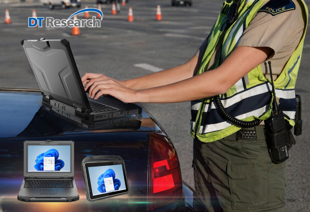
Modern law enforcement demands versatility. A tablet cannot just be a digital clipboard; it must serve as a fully functional in-vehicle office that transitions instantly into a frontline investigative tool. Whether docked securely in a cruiser to run plates and write reports or carried into a scene to document critical evidence, these mobile computing systems bridge the gap between the station and the field.
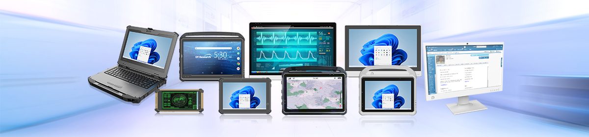
Operating on flexible Windows or Android operating systems, these mobile rugged tablets and laptops allow agencies to run their preferred CAD, RMS, and advanced forensic mapping software seamlessly. Investigators gain real-time decision-making capabilities right at their fingertips, ensuring that the tool adapts to the scene, rather than forcing the investigator to adapt to the technology.
Built for the Reality of First Response
Consumer-grade tablets fail the moment they face the unpredictable environment of public safety. When a scene unfolds in a midnight downpour or a dusty rural crossroads, the hardware must be as resilient as the officers using it.
- IP65 and MIL-STD Ratings: Built to withstand heavy dust, drops, and water jets, an unexpected spring downpour won’t ruin your gear, corrupt your data, or jeopardize your prosecution timeline.
- Rapid Data Capture: High-speed processing and integrated scanners mean officers spend significantly less time exposed to live traffic and harsh elements, allowing them to retreat sooner to the safety of their vehicles.
- Secured Connectivity: Equipped with integrated RFID readers, dedicated high-precision GNSS, and secure wireless communication, these mobile computers keep data moving fast and securely. Furthermore, TAA and NDAA compliance ensures the hardware meets strict government procurement and security standards.
Reconstructing the Scene: The Power of Unified Data
Documenting a major incident is no longer just about measuring the distance between a shell casing and a footprint. It is about capturing a comprehensive digital twin of the environment.
During a recent regional field training exercise, a Department of Public Safety accident reconstruction team demonstrated exactly how this ecosystem works in practice. Simulating a complex mock crash scene, multiple agencies collaborated using a unified toolkit: a rugged tablet acting as the command hub, a 3D laser scanner, and an aerial drone.
By establishing physical ground control points on the asphalt, investigators used the rugged tablet to align multiple complex data types, combining dense 3D point clouds with high-resolution aerial drone imagery. Planning out the documentation so that data overlaps perfectly is crucial when merging disparate sources.
The result? What used to take many hours of meticulous, dangerous roadside work can now be completed in approximately 30 to 40 minutes. Perishable evidence like tire marks, vehicle positions, and shoe scuffs is captured safely, accurately, and permanently before it can be degraded by weather or traffic.
Beyond the Asphalt: From the Field to the Courtroom
The value of this integrated technology extends far beyond simply clearing a gridlocked highway. High-precision GNSS systems and laser scanners do more than speed up documentation; they offer a profound “view” of evidence in its exact relation to the entire scene and to other objects within it.
When an investigation moves from the pavement to the courtroom, the spatial relationships captured on that rugged tablet become the cornerstone of the case.
Rather than presenting a confusing array of flat photographs and disconnected measurements, law enforcement can present an undeniable, highly accurate 3D reconstruction to prosecutors, judges, and jurors. It allows the courtroom to virtually step into the scene and understand the event exactly as it happened, based on immutable, precisely mapped data.
Safer Roads, Smarter Policing
Equipping regional law enforcement officers with the latest mobile technologies is fundamentally an investment in public safety. By streamlining the intersection of forensics, traffic safety, and first response, rugged mobile incident management systems ensure that officers have the tools they need to do their jobs with unparalleled accuracy.
Ultimately, it comes down to a simple equation: faster clearance times mean fewer secondary crashes, protected evidence, and an immediate return to safety for both the community and the officers who protect it. Time may be working against investigators at a scene, but with the right rugged technology in hand, law enforcement is finally winning the race.