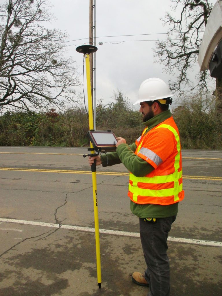
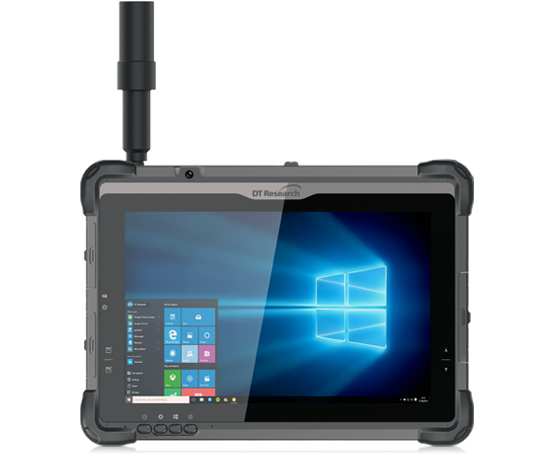
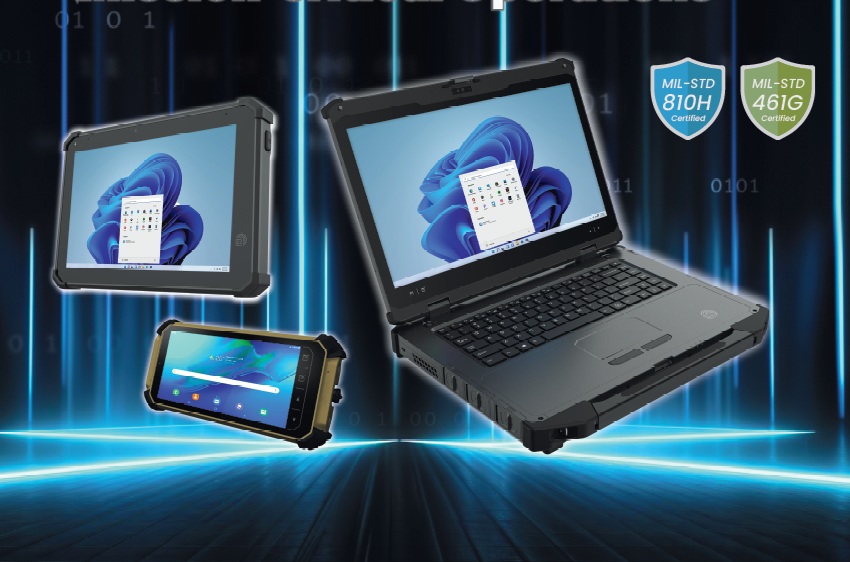
Rugged Tablets for Stakeless Construction Projects

With the growing trend in building and improvement of highways and infrastructure, the desire for construction sites to become “stakeless” is in high demand. Purpose-built positioning tablets that inspectors and construction crews may use to run programs that contain GPS locating and 3D modeling technologies that allow them to work faster and smarter while on the site.

Continue reading “Rugged Tablets for Stakeless Construction Projects”

Manage Military Assets More Efficiently

Military operations are known for their accuracy, efficiency, focus, and precision. Military internal administration, on the other hand, finds it challenging to exhibit the same level of perfection due to the reliance on legacy technology and manual procedures. The deployment of a fully automated, real-time military asset management, tracking, and maintenance solution that provides you complete visibility and control is the best way to achieve the precision, efficiency, and cost-effectiveness that are essential to the success of military internal operations.

Continue reading “Manage Military Assets More Efficiently”

GNSS Tablets: The Reliable Partner of Law Enforcement Officers

Traditionally, crime scene processing has involved manual measurements to construct diagrammatic representations of crime scenes. This requires a lot of work and time, and it may not produce an accurate depiction of a scene.

Continue reading “GNSS Tablets: The Reliable Partner of Law Enforcement Officers”

Getting the Best Accuracy for Ground Control Points with Rugged Tablets

Ground control points (or GCPs) are known-coordinated places on the ground. GCPs are points that a surveyor can precisely pinpoint in an aerial mapping survey, allowing enormous areas to be accurately mapped with just a few known coordinates.

Continue reading “Getting the Best Accuracy for Ground Control Points with Rugged Tablets”