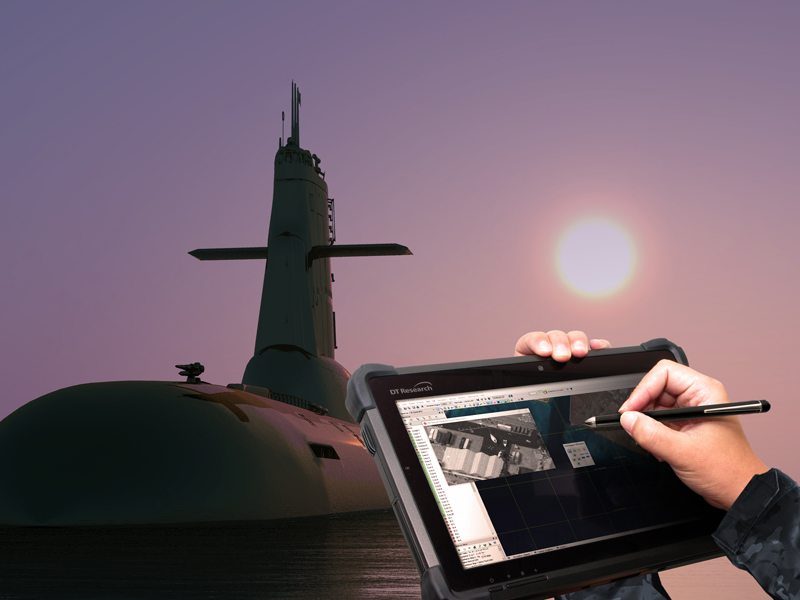
In this current digital age, the United States Navy relies on durable, portable, and powerful tools with a variety of applications to support their operations in an ever-changing global landscape.
In this current digital age, the United States Navy relies on durable, portable, and powerful tools with a variety of applications to support their operations in an ever-changing global landscape.

Theres no denying that the common thread of all smart cities around the globe is highly-advanced technology, specifically information and communication technologies (ICT) that collect copious amounts of data on all functions and operations within the city.

Building Information Modeling or BIM changes the future of cities around the globe. Serving as a digital representation of places by creating 3-D models of their physical and functional characteristics, the process is being explored in locations that would benefit from the smarter infrastructure. Building Information Models or BIMs are files that can be accessed and shared with appropriate parties responsible for making cities safer, more efficient, and better capable to account for a growing population of citizens.
Continue reading “How BIM Technology is Being Used in Smart City Development”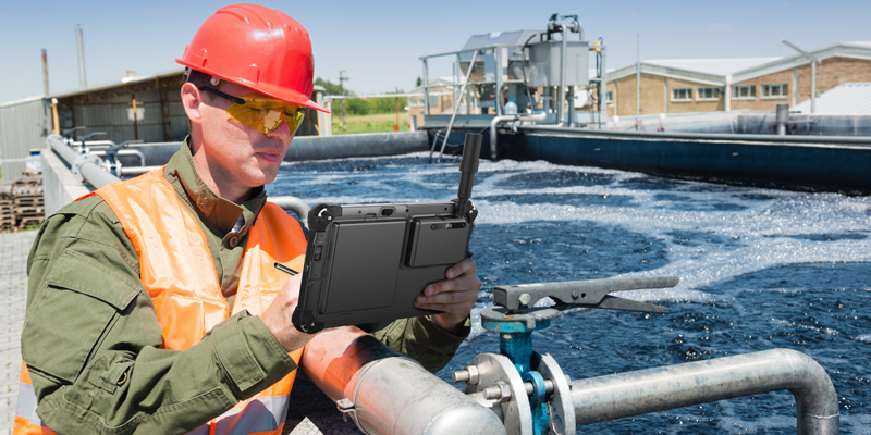
City planners and local government leaders are constantly looking for ways to improve and enhance city programs. For many cities tracking the progress of utility maintenance around the city can be a bit cumbersome. For many years tracking the updates of utilities around the city has been done by sending men/women into various parts of the city to check on pipes that need repairs or maintenance, utility lines that need to be installed or repaired and water plant maintenance. The information is documented by a pad of paper and pencil and then taken back to the office and entered into a computer system, leaving room for human error as well as additional labor and manpower.

GNSS, or Global Navigation Satellite System, provides independent geospatial positioning that is the ideal technology for logistics and location-based service sectors. GNSS mapping also delivers the necessary technology for smarter logistics and asset management planning, from fleet supervision to delivery scheduling and GPS routing. Not only will DT tablets reduce overhead costs, but they will provide corporations and clients with improved access to facilities.
Continue reading “Logistics GNSS Mapping – Asset Management”