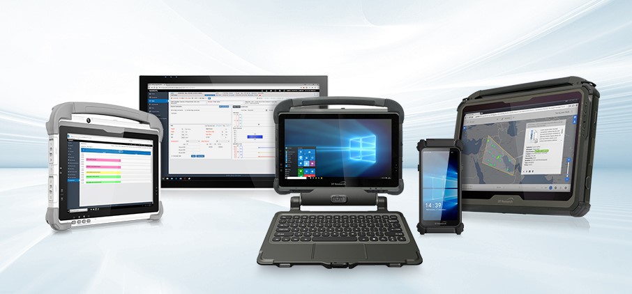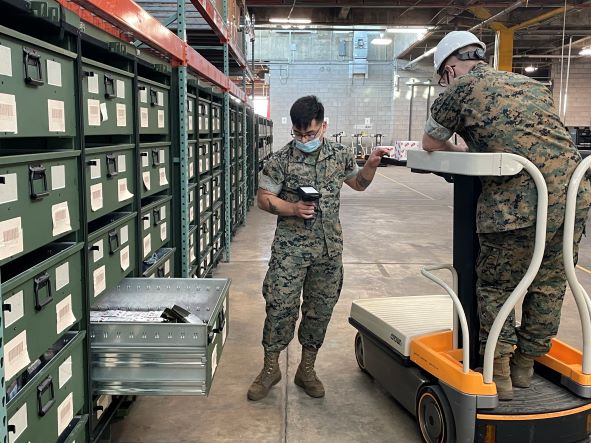
As the renewable energy industry grows, and opportunity expands the need for renewable energy management also grows. Planning smart, renewable energy projects as well as managing all of the assets for the projects are of the utmost importance. Projects such as solar installations, and wind turbines on wind farms require maintenance of parts, as well as asset management of the devices during and after installation.
Continue reading “Rugged Tablets for Smart, Renewable Energy Management”


