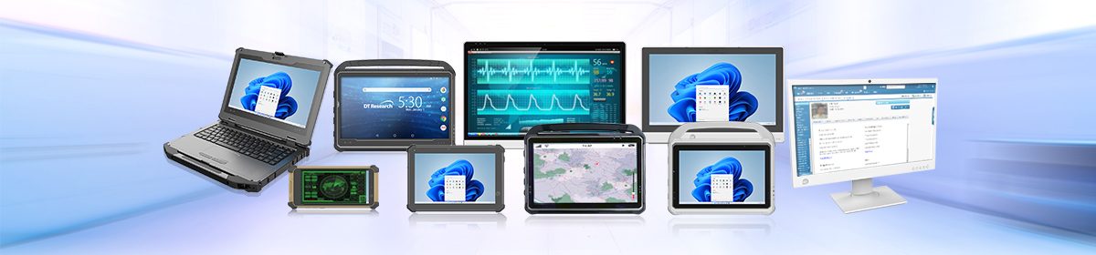
Healthcare facilities need advanced technology to improve patient care, streamline workflows, and ensure better communication between healthcare professionals. One of the most exciting technological advancements in healthcare is the use of tablets and all-in-one medical cart computers. These healthcare technology solutions have been proven to be an effective tool for healthcare professionals in different settings such as hospitals, clinics, care homes, and field clinics. They have become increasingly popular and are essential in supporting patient care, reducing costs, and improving workflow efficiency.
Continue reading “Transforming Healthcare: The Role of Tablets and Medical Cart Computers”