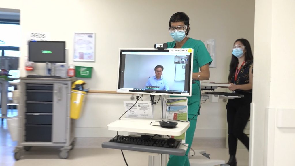
The last two years have significantly impacted healthcare delivery across the globe. With the need for social distancing and reduced contact, telehealth has emerged as an essential tool for delivering care to patients. As the world continues to grapple with the pandemic, healthcare organizations are considering the role of telehealth in a post-pandemic world.
Continue reading “Closing the Health Gap: Integrated Care Strategies with Medical Tablets”