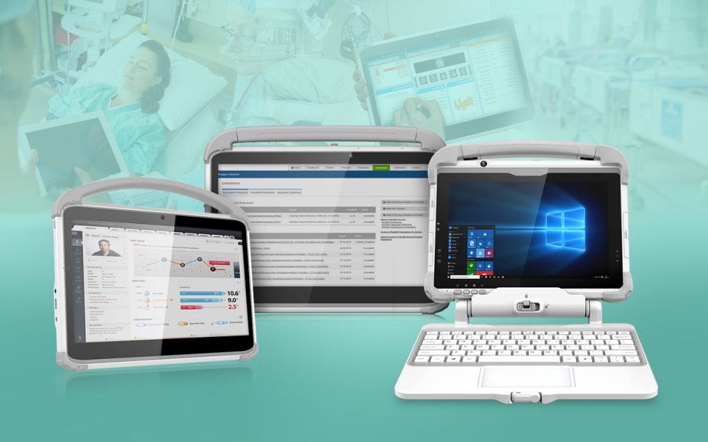
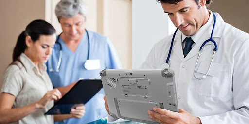
Telehealth technology has been an exciting investment avenue for many healthcare providers throughout the world. The benefits have been highlighted repeatedly, but the recent pandemic has brought telehealth technology back into the spotlight and moved it forward at a faster rate than the last several years with facilities adopting it as a service offered regularly.
Continue reading “How Rugged Medical Tablets and Cart Computers Support Telehealth”